Estonian national road 13
Road in Estonia
 | ||||
|---|---|---|---|---|
| Tugimaantee 13 | ||||
 | ||||
| Route information | ||||
| Length | 52.7 km[1] (32.7 mi) | |||
| Major junctions | ||||
| From | Jägala ( T1) T1) | |||
| To | Käravete ( T5) T5) | |||
| Location | ||||
| Country | Estonia | |||
| Highway system | ||||
| ||||
| ||||
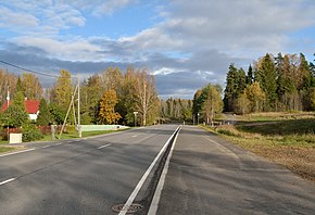
Tugimaantee 13 (ofcl. abbr. T13), also called the Jägala–Käravete highway (Estonian: Jägala–Käravete maantee), is a 52.7-kilometre-long[1] national basic road in northern Estonia. The highway begins at Jägala on national road 1 and ends at Käravete on national road 5.[2]
Route
T13 passes through the following counties and municipalities:[2]
- Harju County
- Jõelähtme Parish
- Anija Parish
- Lääne-Viru County
- Tapa Parish
- Järva County
See also
- Transport in Estonia
References
- ^ a b "Riigimaanteede nimekiri ja riigimaanteede liigid" (in Estonian). riigiteataja.
- ^ a b "Maainfo Kaardirakendus" (in Estonian and English). Maa-amet. Retrieved 11 August 2018.
External links
- v
- t
- e
National roads in Estonia

 | This European road or road transport-related article is a stub. You can help Wikipedia by expanding it. |
- v
- t
- e
 | This article about transport in Estonia is a stub. You can help Wikipedia by expanding it. |
- v
- t
- e


