Kvitegga


Kvitegga
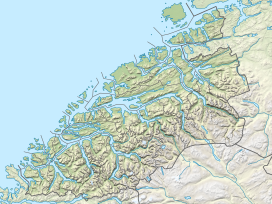
Kvitegga (Norway)
Show map of NorwayKvitegga is a mountain on the border between the municipalities of Stranda and Volda in Møre og Romsdal county, Norway. It is located about 7 kilometres (4.3 mi) southeast of the village of Leira (in Volda) and about 8 kilometres (5.0 mi) west of Hellesylt (in Stranda). The 1,717-metre (5,633 ft) tall Kvitegga is located about 3 kilometres (1.9 mi) northeast of the nearby mountain Hornindalsrokken.
Kvitegga is the highest mountain in the Sunnmørsalpene mountain range. It offers a very wide view, from Galdhøpiggen in the southeast (just jutting above the Sikilbreen glacier), to the impressing Hurrungane mountains further to the southeast, as well as all the local alpine surroundings and a wide swath of the ocean in the west.[1]
See also
- List of peaks in Norway by prominence (Kvitegga is number 10)
- List of mountains of Norway
References
- ^ "Kvitegga, 1707m". WestCoastPeaks.com. Retrieved 2010-09-21.
- v
- t
- e


