Nesselwängle
Place in Tyrol, Austria

Coat of arms
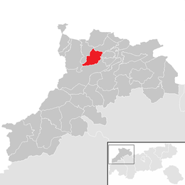
Location within Reutte district
[1]
(2018-01-01)[2]
6672
Nesselwängle is a municipality in the district of Reutte in the Austrian state of Tyrol.
Geography
Nesselwängle lies at the entrance to the Tannheim Valley.
References
External links
- Official website (in German)
- Website of the skiing area Nesselwängle (in German)
Wikimedia Commons has media related to Nesselwängle.
- v
- t
- e
Municipalities in the district of Reutte
- Bach
- Berwang
- Biberwier
- Bichlbach
- Breitenwang
- Ehenbichl
- Ehrwald
- Elbigenalp
- Elmen
- Forchach
- Gramais
- Grän
- Häselgehr
- Heiterwang
- Hinterhornbach
- Höfen
- Holzgau
- Jungholz
- Kaisers
- Lechaschau
- Lermoos
- Musau
- Namlos
- Nesselwängle
- Pfafflar
- Pflach
- Pinswang
- Reutte
- Schattwald
- Stanzach
- Steeg
- Tannheim
- Vils
- Vorderhornbach
- Wängle
- Weißenbach am Lech
- Zöblen
Authority control databases | |
|---|---|
| International |
|
| National |
|
 | This Tyrol location article is a stub. You can help Wikipedia by expanding it. |
- v
- t
- e


