Vinnufjellet

Vinnufjellet
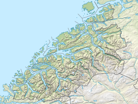
Location of the mountain
Show map of Møre og Romsdal
Vinnufjellet
Vinnufjellet (Norway)
Show map of NorwayVinnufjellet is an 1,818-metre (5,965 ft) tall mountain in Sunndal Municipality in Møre og Romsdal county, Norway. Vinnufjellet consists of the two peaks named Dronningkrona at 1,816 metres (5,958 ft) and Kongskrona at 1,818 metres (5,965 ft). The names of the two peaks are translated as Queen's crown and King's crown. The mountain is located just northeast of the village of Sunndalsøra and the Sunndalsfjorden. On the south side of the mountain, the Vinnufossen waterfall flows into the river Driva, just east of the village of Hoelsand.[1]
References
- ^ "Vinnufjellet" (in Norwegian). yr.no. Retrieved 2010-12-03.
- v
- t
- e


