Over Wallop

Cet article est une ébauche concernant une localité anglaise.
Vous pouvez partager vos connaissances en l’améliorant (comment ?) selon les recommandations des projets correspondants.
Over Wallop

| Pays |  Royaume-Uni Royaume-Uni |
|---|---|
| Région | Angleterre du Sud-Est |
| Comté cérémonial | Hampshire |
| Comté non métropolitain | Hampshire (d) |
| Borough | Test Valley |
| Coordonnées | 51° 08′ 37″ N, 1° 35′ 49″ O |
| Statut | Village, paroisse civile |
|---|
| Indicatif téléphonique | 01264 |
|---|---|
| Site web | www.thewallops.net/index.htm |
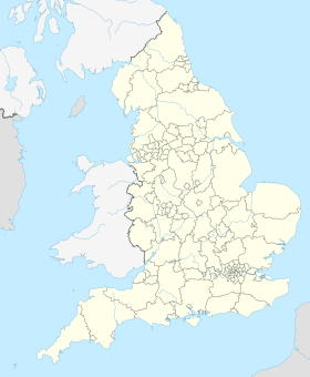
Localisation sur la carte d’Angleterre
  |
Localisation sur la carte du Royaume-Uni
 |
modifier - modifier le code - modifier Wikidata
Over Wallop est une paroisse civile et un village du Hampshire, en Angleterre.
Notes et références

Cette section est vide, insuffisamment détaillée ou incomplète. Votre aide est la bienvenue ! Comment faire ?
Liens externes
Sur les autres projets Wikimedia :
- Over Wallop, sur Wikimedia Commons
- Site officiel

- Ressource relative à la géographie :
- Open Domesday
 Portail de l’Angleterre


