モラレダ海峡
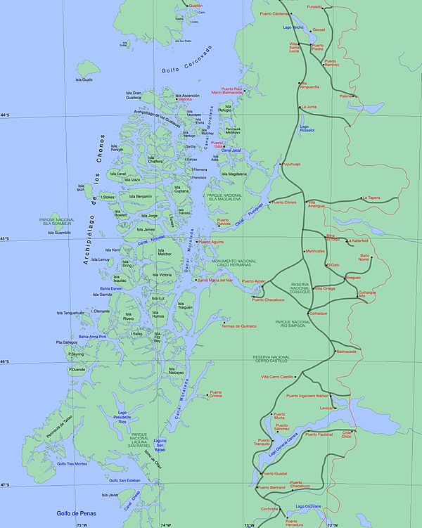


モラレダ海峡 (Moraleda Channel, スペイン語: Canal Moraleda) は、チリ本土とチョノス群島とを隔てる海域である。南緯44度24分53秒 西経73度25分14秒 / 南緯44.4147222度 西経73.4205556度 / -44.4147222; -73.4205556に位置し、コルコバド湾に続く。アイセン・フィヨルドの入り口より南側の海峡は2つに分かれている。東側はコスタ海峡 (Costa Channel) と呼ばれており、さらに南へ行くと「エステロ・エレファンテス(エスチュアリー)」 (Estero Elefantes) と名を変える。海峡はリキーネ-オフキ断層に沿っている。
海峡の最深部はマグダレーナ島の前に存在する[1]。
出典
- ^ Rodrigo, Cristián (2006). “Topografía submarina en canales de la Patagonia Norte”. Avances en el conocimiento oceanográfico de las aguas interiores chilenas, Puerto Montt a cabo de Hornos: 19–23. http://www.cona.cl/revista/spanish/2-1%20Topograf%C3%ADa%20submarina.pdf 26 April 2013閲覧。.
外部リンク
- Chilean Navy, “General piloting regulations and information” (Spanish), STRAIT OF MAGELLAN, CHILEAN CHANNELS AND FIORDS Regulations and information for PILOTING. ROUTES, http://www.web.directemar.cl/,++オリジナルの2012年10月8日時点におけるアーカイブ。, https://web.archive.org/web/20121008025907/http://web.directemar.cl/pilotaje/pageA.html 16 April 2013閲覧。
- Chilean Navy, “Sailing along the Strait of Magellan or Drake Passage” (Spanish), STRAIT OF MAGELLAN, CHILEAN CHANNELS AND FIORDS Regulations and information for PILOTING. ROUTES, http://www.web.directemar.cl/,++オリジナルの2012年11月24日時点におけるアーカイブ。, https://web.archive.org/web/20121124225402/http://web.directemar.cl/pilotaje/pageB.html 16 April 2013閲覧。
- Chilean Navy, “Sailing throughout Chilean Straits, Channels and Fjords” (Spanish), STRAIT OF MAGELLAN, CHILEAN CHANNELS AND FIORDS Regulations and information for PILOTING. ROUTES, http://www.web.directemar.cl/,++オリジナルの2012年11月26日時点におけるアーカイブ。, https://web.archive.org/web/20121126225631/http://web.directemar.cl/pilotaje/pageC.html 16 April 2013閲覧。
- Ministerio de Obras Públicas de Chile (2012), “Maps of all regions of Chile” (Spanish) (jpg and pdf), Cartas camineras 2010 in 200 dpi and 70 dpi resolution available (Maps), Government of Chile, オリジナルの4 September 2012時点におけるアーカイブ。, http://www.mapas.mop.cl/CARTAS%20CAMINERAS.htm 20 April 2013閲覧。
- United States Hydrographic Office, South America Pilot (1916)
- 表示
- 編集


