Badminton (Gloucestershire)
 Castle Barn | |
| Państwo |
|
|---|---|
| Kraj |
|
| Region | South West |
| Hrabstwo ceremonialne | Gloucestershire |
| Unitary authority | South Gloucestershire |
| Populacja • liczba ludności |
|
| Nr kierunkowy | 01454 |
| Kod pocztowy | GL9 |
Położenie na mapie Gloucestershire 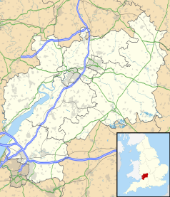 | |
Położenie na mapie Wielkiej Brytanii  | |
Położenie na mapie Anglii  | |
 51°31′48″N 2°16′48″W/51,530000 -2,280000 51°31′48″N 2°16′48″W/51,530000 -2,280000 | |


Badminton – wieś w Anglii, w hrabstwie ceremonialnym Gloucestershire, w dystrykcie (unitary authority) South Gloucestershire. Leży 23 km na północny wschód od miasta Bristol i 150 km na zachód od Londynu[1].
Przypisy
- ↑ Badminton na mapie. getamap.ordnancesurvey.co.uk. [dostęp 2010-11-27]. (ang.).
- Britannica: place/Badminton-England


